Template:POTW/2012-4
Jump to navigation
Jump to search

|
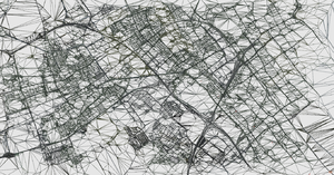
| TerraGear is a collection of open-source tools and rendering libraries which can transform publically available GIS data in 3D representations of the earth. It is the primary tool used to generate the scenery for the FlightGear project. |