Template:POTW/2009-46
Jump to navigation
Jump to search

|
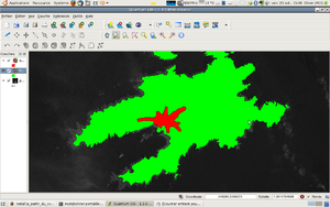
| Using free software, like QGIS, you are able to edit the FlightGear scenery terrain. Handdrawn areas have a huge improvement in the level of detail and accuracy over the default terrain. When flying, the difference is huge. Moreover, this enables the autogeneration of cities, trees, and so on. |