Uploads by Adrian
Jump to navigation
Jump to search
This special page shows all uploaded files.
| Date | Name | Thumbnail | Size | Description | Versions |
|---|---|---|---|---|---|
| 08:15, 2 October 2013 | Qradiopredict.png (file) |  |
1.51 MB | 1 | |
| 09:28, 24 September 2013 | Qradiopredict1.png (file) | 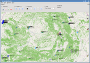 |
1.23 MB | qRadioPredict, the bigger brother of qFGradio | 1 |
| 19:12, 3 September 2013 | Qfgradio3.png (file) | 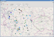 |
934 KB | with APRS stations DE | 1 |
| 19:04, 3 September 2013 | Qfgradio2.png (file) | 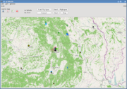 |
1.14 MB | qFGRadio showing APRS stations | 1 |
| 10:42, 14 August 2013 | Qfgradio1.png (file) | 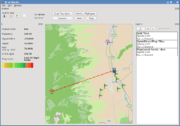 |
193 KB | Qt GUI to control Flightgear's radio interface. | 1 |
| 10:03, 18 December 2012 | High textures transitions13 1.png (file) | 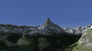 |
1.3 MB | Matterhorn as seen from above Zermatt. Slope transitions in use. Need a limiter for tree line altitude. | 1 |
| 10:01, 18 December 2012 | High textures transitions11 1.png (file) | 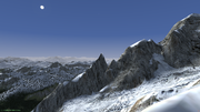 |
1.43 MB | Aguille du Midi? | 1 |
| 09:59, 18 December 2012 | High textures transitions10 1.png (file) |  |
1.59 MB | Mont Blanc | 1 |
| 09:45, 18 December 2012 | High textures transitions6 2.png (file) | 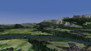 |
1.6 MB | France high detail scenery revisited. Some textures tweaked meanwhile. Using slope shader transitions. | 1 |
| 09:41, 18 December 2012 | High textures transitions4 1.png (file) | 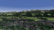 |
1.81 MB | France high detail scenery revisited. Some textures tweaked meanwhile. Using slope shader transitions. | 1 |
| 09:37, 18 December 2012 | High textures transitions3.png (file) | 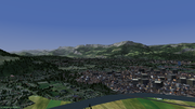 |
1.74 MB | France high detail scenery revisited. Some textures tweaked meanwhile. Using slope shader transitions. | 1 |
| 15:02, 17 December 2012 | Terrain loading4b.png (file) |  |
1.43 MB | Visibility 1000 km, LOD distance bare 1000 km, altitude 100 km, a whole 10x10 degree tile of default terrain in view: Flightgear uses 1.7 GB of RAM, the same as with 100 km view distance in high detail terrain. | 1 |
| 03:48, 16 December 2012 | Terrain loading2b.png (file) |  |
1.18 MB | Visibility 80 miles, LOD distance bare 120 km, memory consumption 2800 MB, 680 of which are other applications. Map shows extent of tiles loaded around the Aircraft. At 10000 meters, FPS was 21. | 1 |
| 03:45, 16 December 2012 | Terrain loading1b.png (file) |  |
1.14 MB | Visibility 80 miles, LOD distance Bare 120 km. FPS was 21 at 10000 meters. | 1 |
| 14:07, 13 December 2012 | Radio-perf9b.png (file) | 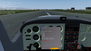 |
963 KB | New radio disabled, same stations tuned, on the ground, medium distance 100 km, notice DME indication low right: 39 FPS | 1 |
| 14:05, 13 December 2012 | Radio-perf7b.png (file) | 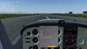 |
852 KB | New radio enabled, 3 stations tuned, details in upper left corner: 39 FPS | 1 |
| 21:40, 12 December 2012 | Radio-perf2.png (file) | 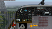 |
1.44 MB | Evaluate performace of radio subsystem with default values, 3 stations tuned in, terrain loaded up to 60 km away. | 1 |
| 09:45, 12 December 2012 | Map tiles2.png (file) | 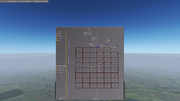 |
669 KB | Loaded tiles displayed on map. Activating data checkbox displays bucket string. Need checkbox to make this an on/off feature. | 1 |
| 08:02, 12 December 2012 | Map tiles1.png (file) | 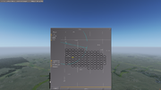 |
912 KB | 1 | |
| 16:52, 9 December 2012 | Terrain sampling2.png (file) | 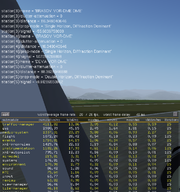 |
178 KB | Demo of terrain sampling using an external elevation database, with three radio stations running, each located at approx. 100 km away from the station. | 1 |
| 11:49, 1 December 2012 | Terrain-sampling1.png (file) | 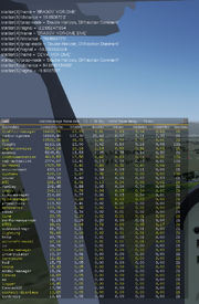 |
330 KB | Demo of terrain sampling using an external elevation database, with three radio stations running, each located at approx. 100 km away from the station. | 1 |
| 01:42, 27 November 2012 | Vor-dme.png (file) | 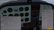 |
831 KB | VOR reived fully, and now DME received too, we have cleared the small obstruction. UHF is fun! | 1 |
| 01:40, 27 November 2012 | Vor-no-dme.png (file) | 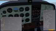 |
782 KB | VOR station received full signal, while DME is still unavailable 60 km out because of obstructions. | 1 |
| 13:31, 23 November 2012 | Vor itm.png (file) | 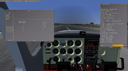 |
887 KB | VOR reception tested with new radio code. | 1 |
| 13:29, 23 November 2012 | Vor no itm.png (file) | 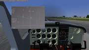 |
945 KB | VOR reception using classic navradio code | 1 |
| 17:18, 7 January 2012 | AlpesFrance2.png (file) | 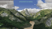 |
3 MB | Mountains in the clouds, France (for POTW) | 1 |
| 17:17, 7 January 2012 | AlpesFrance.png (file) | 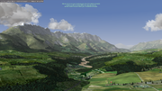 |
2.2 MB | Smooth rock transitions to grass and forrest, France (POTW) | 1 |
| 17:15, 7 January 2012 | Obiou.png (file) | 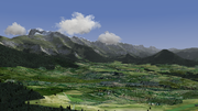 |
2.32 MB | L'Obiou, vue du Mens, France (for POTW) | 1 |
| 17:10, 7 January 2012 | LakeAlpes.png (file) | 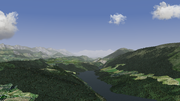 |
2.07 MB | A lake and gorges, France | 1 |
| 17:08, 7 January 2012 | PicStMichel.png (file) | 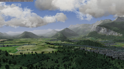 |
2.67 MB | Pic St Michel vue du Echirolles, France (for POTW) | 1 |
| 17:06, 7 January 2012 | Grenoble.png (file) | 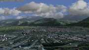 |
2.47 MB | Near Grenoble, France (for POTW) | 1 |
| 17:03, 7 January 2012 | DentArclusaz.png (file) | 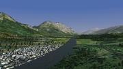 |
2.08 MB | Dent d'Arclusaz, France (for POTW) | 1 |
| 17:01, 7 January 2012 | MontGranier.png (file) | 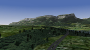 |
1.66 MB | Mont Granier, massif de la Chartreuse, France (for POTW) | 1 |
| 19:45, 8 December 2011 | Signal-analysis.png (file) | 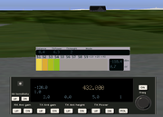 |
158 KB | A radio signal analysis tool | 1 |
| 15:39, 5 December 2011 | Antenna-polar.png (file) | 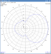 |
46 KB | Far field radiation polar plot in 4nec2 | 1 |
| 17:02, 3 December 2011 | S-meter3.png (file) |  |
62 KB | signal strength indicator | 1 |
| 17:01, 3 December 2011 | S-meter2.png (file) |  |
71 KB | signal strength indicator | 1 |
| 17:00, 3 December 2011 | S-meter1.png (file) |  |
95 KB | signal strength indicator | 1 |
| 12:54, 4 November 2011 | AISchedule3.png (file) |  |
87 KB | 1 | |
| 12:53, 4 November 2011 | AISchedule2.png (file) |  |
105 KB | 1 | |
| 13:42, 3 October 2011 | AISchedule.png (file) |  |
91 KB | 3 | |
| 00:11, 4 December 2010 | E20n40.png (file) | 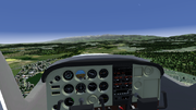 |
517 KB | Carpathian mountains seen from LRSB | 1 |