Custom France scenery
Jump to navigation
Jump to search
- Note: a data of a nearly identical quality is now available via Terrasync, see FlightGear_World_Scenery_2.0 for more information. This Scenery is now deprecated and will probably never get updated again.
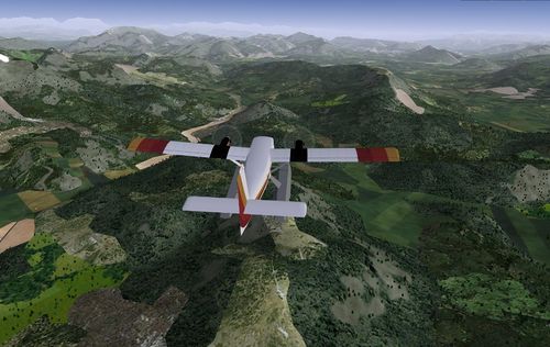
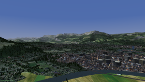
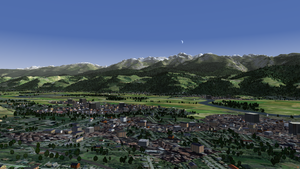
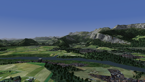
Custom scenery is available for continental France. It was developed using a variety of free data sources.
Distribution
The first release of this custom scenery covering all of continental France is available from [1] (warning: 781 MB file).
This work is released under the terms of the Creative Commons Attribution-ShareAlike 3.0 Unported license [2].
Improvements over the standard scenery
The following data sources have been used and processed to generate this scenery:
- landcover information from the CORINE program (Source : European Union, SOeS, CORINE Land Cover, 2006 - [3]). See here for the correspondence between CORINE and FG textures,
- landmass updated according to CORINE data,
- digital elevation data from Jonathan de Ferranti for the alpine area [4],
- fitting of the elevation data with 20m accuracy ("terrafit.py -e 20"),
- Road and rail information from OpenStreetMap [5].
Please see the forums [6] for feedback and information about work in progress.
Suggested flights
- Take-off from Grenoble le Versoud (LFLG). Head south following the general direction of the Alps. Bearing left (East) will take you into high alpine territory, while towards the West lie the plains of the Rhône valley. Once you reach the Mediterranean coast, follow it to land in Marseilles (LFML), Nice (LFMN), or another smaller airport serving the French Riviera.


