File:Navigation display centered MAP mode.png: Difference between revisions
Jump to navigation
Jump to search
(User created page with UploadWizard) |
m (Robot: Changing Category:FlightGear cockpit close-up screenshots to Category:Screenshots of cockpit details) |
||
| Line 14: | Line 14: | ||
{{self|cc-by-sa-3.0}} | {{self|cc-by-sa-3.0}} | ||
[[Category:Screenshots of cockpit details]] | |||
[[Category: | |||
Latest revision as of 10:32, 9 February 2015
Summary
| Description | (en) Navigation display centered MAP mode after takeoff from Eindhoven Airport (EHEH). |
| Date | 26 December 2013 , 23:45:13 |
| Source | Own work |
| Author | Gijs |
|
Location on Earth |
|
View this and other nearby images on: Google Maps - Google Earth OpenStreetMap | (Info) |
|---|
Licensing
|
File history
Click on a date/time to view the file as it appeared at that time.
| Date/Time | Thumbnail | Dimensions | User | Comment | |
|---|---|---|---|---|---|
| current | 22:46, 26 December 2013 | 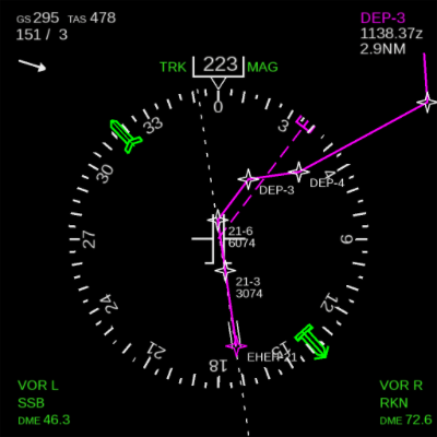 | 400 × 400 (56 KB) | Gijs (talk | contribs) | User created page with UploadWizard |
You cannot overwrite this file.
File usage
The following 5 pages use this file: