Talk:Airport Diagram Generator
Jump to navigation
Jump to search
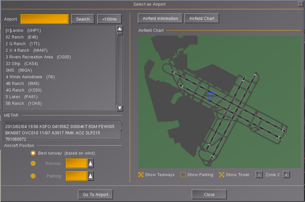
Use this code to display Aiport Plans on EFBs, NDs, GPSs and Maps! :D --Rixi.muxaxo (talk) 13:58, 6 September 2014 (UTC)
- The code is using Java, while FlightGear generally uses C++ and some Nasal. And there are better options than this Java code meanwhile, via Canvas.
- see Canvas Maps and Canvas MapStructure Layers:

