File:OpenRadar-Flightplanning-lables-1.png
Jump to navigation
Jump to search
No higher resolution available.
OpenRadar-Flightplanning-lables-1.png (764 × 115 pixels, file size: 14 KB, MIME type: image/png)
Summary
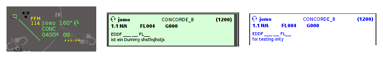
| Description | (en) OpenRadar Flightplan target lables, set 1 |
| Date | 24 February 2014 , 09:58:10 |
| Source | Own work |
| Author | Jomo |
|
Location on Earth |
|
View this and other nearby images on: Google Maps - Google Earth OpenStreetMap | (Info) |
|---|
Licensing
|
File history
Click on a date/time to view the file as it appeared at that time.
| Date/Time | Thumbnail | Dimensions | User | Comment | |
|---|---|---|---|---|---|
| current | 09:06, 24 February 2014 | 764 × 115 (14 KB) | Jomo (talk | contribs) | User created page with UploadWizard |
You cannot overwrite this file.
File usage
The following page uses this file: