File:TerraGear LOD - level 2 first level of simplification-0.png
Jump to navigation
Jump to search

No higher resolution available.
TerraGear_LOD_-_level_2_first_level_of_simplification-0.png (768 × 480 pixels, file size: 493 KB, MIME type: image/png)
Summary
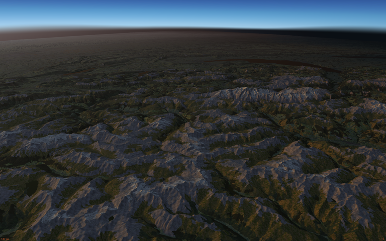
| Here's a screenshot 100,00 ft above LIMA with my custom simgear - ALS enabled, and view distance increased to 400 km - remember - this is corrine data, with OSM, over mountains. About the worst case scenerio.
|
Licensing
| This work of art is distributed under the Free Art License. You are free to redistribute it and/or modify it according to terms of this license. ArtLibre.org |
File history
Click on a date/time to view the file as it appeared at that time.
| Date/Time | Thumbnail | Dimensions | User | Comment | |
|---|---|---|---|---|---|
| current | 18:32, 31 January 2015 | | 768 × 480 (493 KB) | Hooray (talk | contribs) | {{FGCquote |Here's a screenshot 100,00 ft above LIMA with my custom simgear - ALS enabled, and view distance increased to 400 km - remember - this is corrine data, with OSM, over mountains. About the worst case scenerio. |{{cite web |url=http://fo... |
You cannot overwrite this file.
File usage
The following page uses this file: