File:Screenshot-FlightGear multiplayer map-1.png
Jump to navigation
Jump to search
Size of this preview: 800 × 573 pixels. Other resolution: 1,157 × 829 pixels.
Original file (1,157 × 829 pixels, file size: 458 KB, MIME type: image/png)
Summary
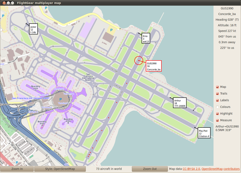
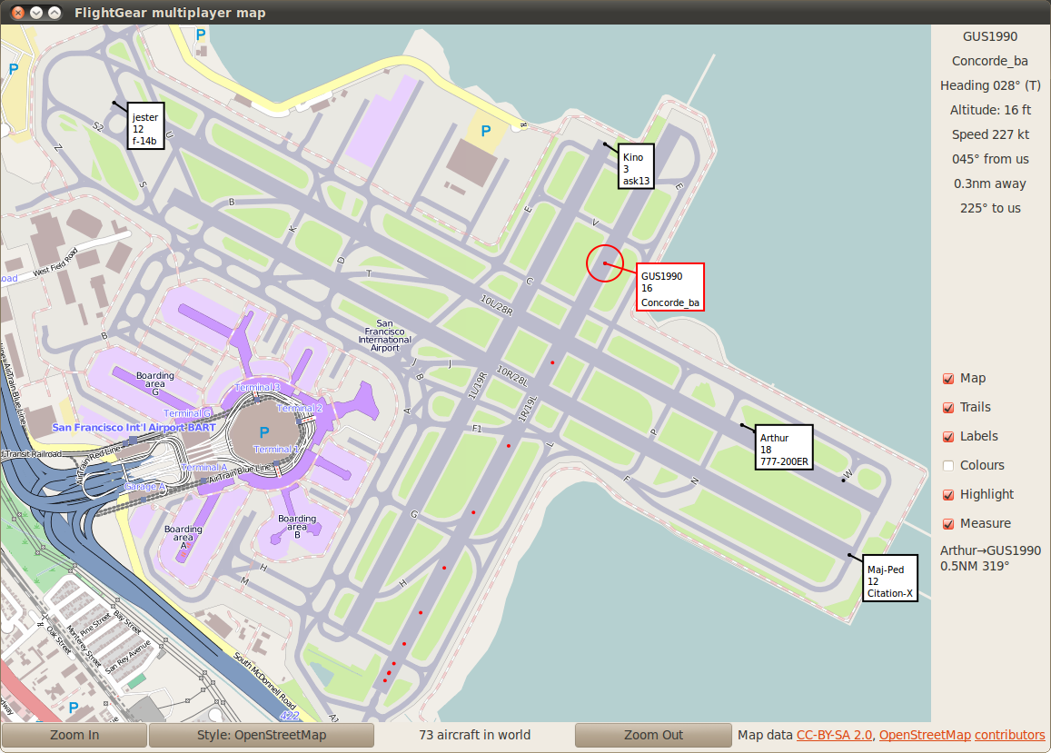
| Description | (en) KSFO airport rendered by openstreetmap, used to show aircraft in flightgear flight simulation |
| Date | 10 June 2012 |
| Source | Map data and rendering CC-BY-SA 2.0 |
| Author | Map: OpenStreetMap. Application design: Oliver White |
Licensing
| This file is licensed under the Creative Commons Attribution-Share Alike 2.0 Generic license.
You are free:
Under the following conditions:
|
||
File history
Click on a date/time to view the file as it appeared at that time.
| Date/Time | Thumbnail | Dimensions | User | Comment | |
|---|---|---|---|---|---|
| current | 16:33, 10 June 2012 | | 1,157 × 829 (458 KB) | Almien (talk | contribs) | different aircraft, closer view of runway detail |
| 16:13, 10 June 2012 | 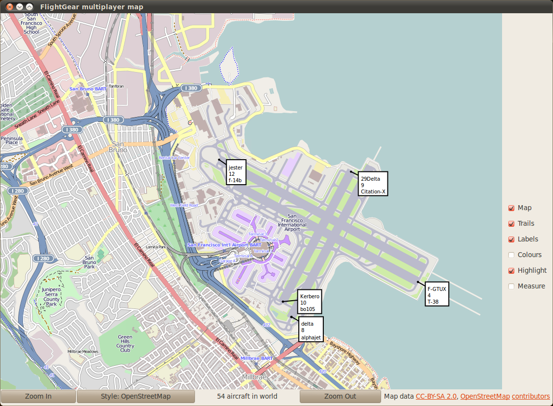 | 1,129 × 829 (609 KB) | Almien (talk | contribs) |
You cannot overwrite this file.
File usage
The following 2 pages use this file: