Summary
| Description |
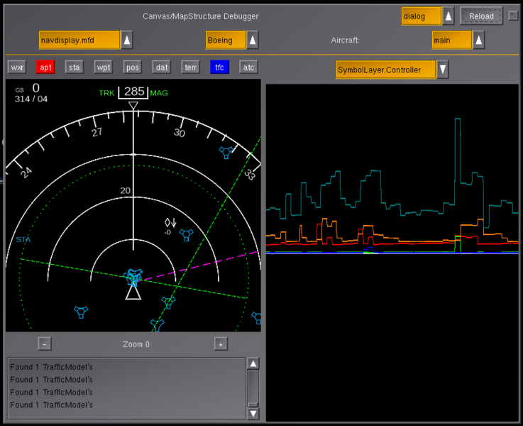
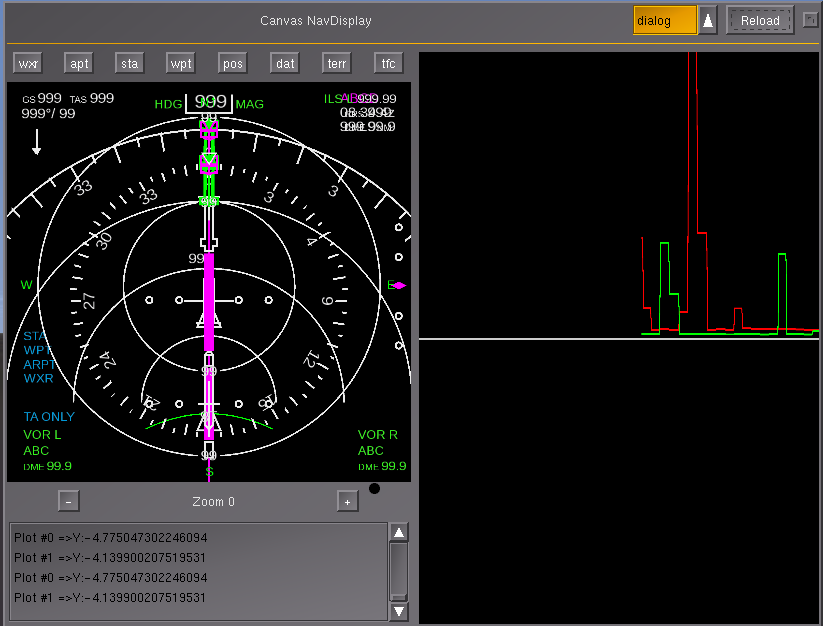
(en) MapStructure/NavDisplay testbed with integrated profiling support for each layer |
| Date |
16 February 2014
(2014-02-16), 19:37:14 |
| Source |
Own work |
| Author |
Hooray |
Licensing
I, the copyright holder of this work, hereby publish it under the following license:

 
|
This file is licensed under the Creative Commons Attribution-Share Alike 3.0 Unported license.
You are free:
- to share – to copy, distribute and transmit the work
- to remix – to adapt the work
Under the following conditions:
- attribution – You must attribute the work in the manner specified by the author or licensor (but not in any way that suggests that they endorse you or your use of the work).
- share alike – If you alter, transform, or build upon this work, you may distribute the resulting work only under the same or similar license to this one.
|
|
|
|
|
File history
Click on a date/time to view the file as it appeared at that time.
| Date/Time | Thumbnail | Dimensions | User | Comment |
|---|
| current | 11:25, 17 February 2014 |  | 828 × 674 (61 KB) | Hooray (talk | contribs) | integrated Philosopher's MapController changes and added stubs for a few other features intended to help with the MFD/Radar efforts (and maybe PFD?) |
| 18:37, 16 February 2014 |  | 823 × 626 (78 KB) | Hooray (talk | contribs) | User created page with UploadWizard |
You cannot overwrite this file.
File usage
The following 5 pages use this file:
This file contains additional information, probably added from the digital camera or scanner used to create or digitize it.
If the file has been modified from its original state, some details may not fully reflect the modified file.
