File:HB-IFR-Map2.png
Jump to navigation
Jump to search

No higher resolution available.
HB-IFR-Map2.png (720 × 436 pixels, file size: 34 KB, MIME type: image/png)
Summary
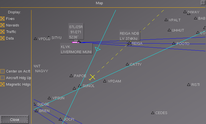
| Description | IFR-Navigation by FGFS-MAP, pic.2 |
| Date | 24 March 2012 |
| Source | Own work |
| Author | jomo |
Licensing

|
Permission is granted to copy, distribute and/or modify this document under the terms of the GNU Free Documentation License, Version 1.2 or any later version published by the Free Software Foundation; with no Invariant Sections, no Front-Cover Texts, and no Back-Cover Texts. A copy of the license is available at GNU Free Documentation License.
|
File history
Click on a date/time to view the file as it appeared at that time.
| Date/Time | Thumbnail | Dimensions | User | Comment | |
|---|---|---|---|---|---|
| current | 06:39, 24 March 2012 | | 720 × 436 (34 KB) | Jomo (talk | contribs) | == Summary == {{File information |description= IFR-Navigation by FGFS-MAP, pic.2 |Source = {{own}} |Date = 2012-03-24 |Author = jomo }} == Licensing == {{GFDL}} Category:Aviation |
You cannot overwrite this file.
File usage
The following page uses this file: