File:Delft OpenStreetMap buildings with roof textures.png
Jump to navigation
Jump to search


Size of this preview: 800 × 418 pixels. Other resolution: 1,362 × 712 pixels.
Original file (1,362 × 712 pixels, file size: 1.09 MB, MIME type: image/png)
Summary
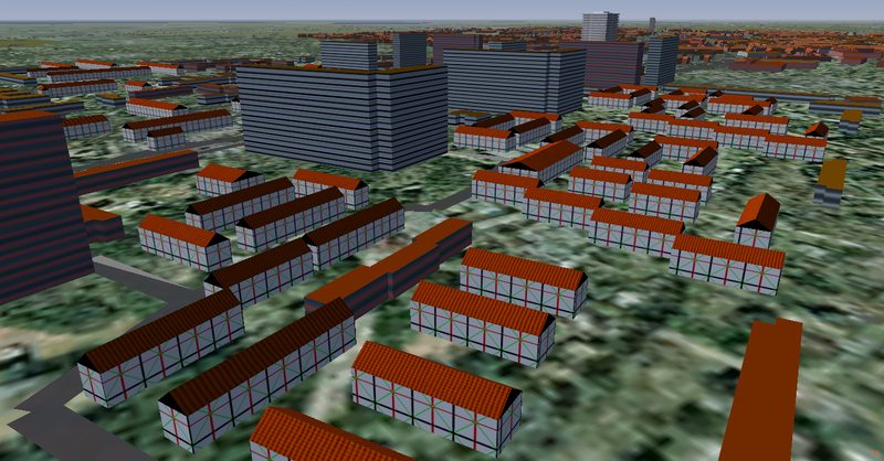
| Description | OpenStreetMap buildings with gable roofs, in the city of Delft, the Netherlands. |
| Date | 2012-04-7 |
| Source | Own work |
| Author | Gijs |
File history
Click on a date/time to view the file as it appeared at that time.
| Date/Time | Thumbnail | Dimensions | User | Comment | |
|---|---|---|---|---|---|
| current | 17:23, 9 April 2012 | | 1,362 × 712 (1.09 MB) | Gijs (talk | contribs) | |
| 21:21, 7 April 2012 | 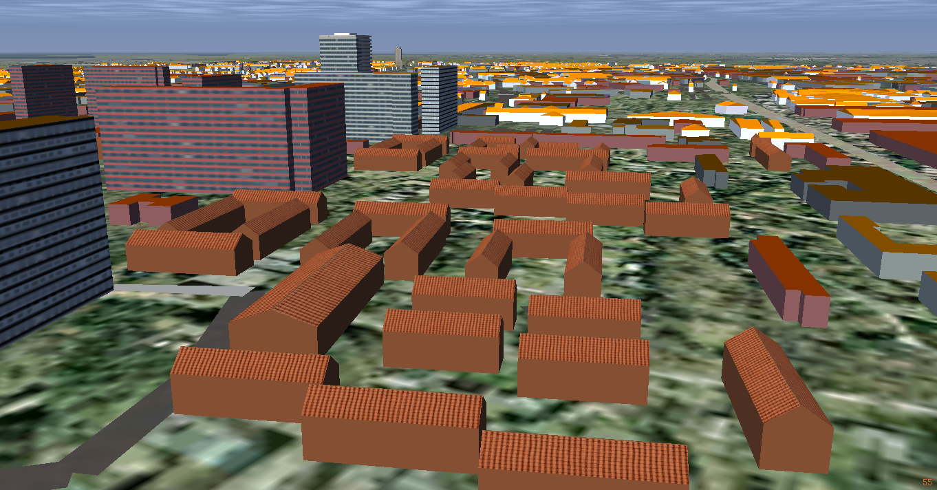 | 1,362 × 712 (902 KB) | Gijs (talk | contribs) | == Summary == {{File information |Description = OpenStreetMap buildings with gamble roofs, in the city of Delft, the Netherlands. |Source = {{own}} |Date = 2012-04-7 |Author = Gijs }} |
You cannot overwrite this file.
File usage
The following page uses this file: