File:Canvas-overlay-with-mapstructure.png
Jump to navigation
Jump to search

No higher resolution available.
Canvas-overlay-with-mapstructure.png (406 × 230 pixels, file size: 88 KB, MIME type: image/png)
Summary
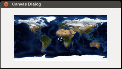
Using the MapStructure framework in conjunction with raster images as overlays
Licensing
|

File history
Click on a date/time to view the file as it appeared at that time.
| Date/Time | Thumbnail | Dimensions | User | Comment | |
|---|---|---|---|---|---|
| current | 17:40, 10 April 2015 | | 406 × 230 (88 KB) | Hooray (talk | contribs) | Using the MapStructure framework in conjunction with raster images as overlays |
You cannot overwrite this file.
File usage
The following 2 pages use this file: