File:Samedan osm2city landuse generated plan view.png
Jump to navigation
Jump to search

Size of this preview: 800 × 457 pixels. Other resolution: 840 × 480 pixels.
Original file (840 × 480 pixels, file size: 258 KB, MIME type: image/png)
Summary
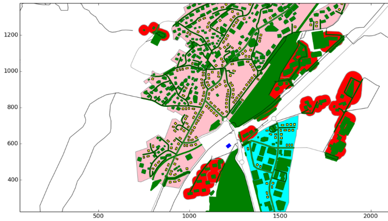
| Description | (en) Yellow footprints of buildings generated by osm2city landuse based on OpenStreetMap data. |
| Date | 4 January 2015 , 20:29:35 |
| Source | Own work |
| Author | Vanosten |
Licensing
|
File history
Click on a date/time to view the file as it appeared at that time.
| Date/Time | Thumbnail | Dimensions | User | Comment | |
|---|---|---|---|---|---|
| current | 19:36, 4 January 2015 | | 840 × 480 (258 KB) | Vanosten (talk | contribs) | User created page with UploadWizard |
You cannot overwrite this file.
File usage
There are no pages that use this file.