File:Map-canvas-dialog-flightpath.png
Jump to navigation
Jump to search
No higher resolution available.
Map-canvas-dialog-flightpath.png (726 × 491 pixels, file size: 62 KB, MIME type: image/png)
Summary
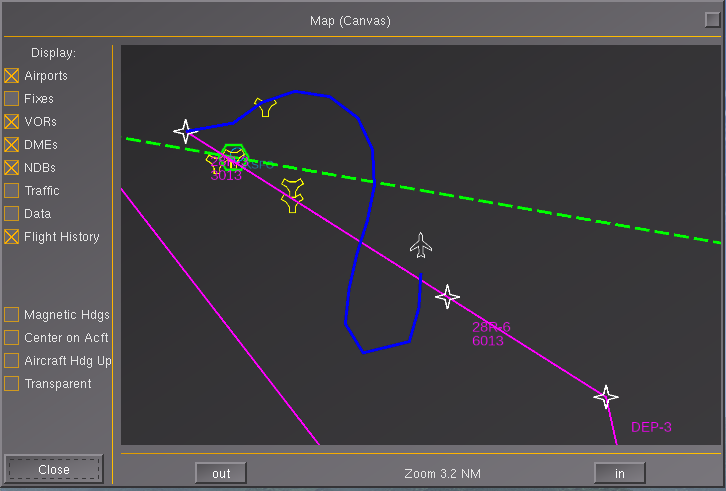
| Description | (en) Philosopher's new FLT (flight path/history) layer for MapStructure |
| Date | 12 May 2014 , 01:03:38 |
| Source | Own work |
| Author | Hooray |
|
Location on Earth |
|
View this and other nearby images on: Google Maps - Google Earth OpenStreetMap | (Info) |
|---|
Licensing
|
File history
Click on a date/time to view the file as it appeared at that time.
| Date/Time | Thumbnail | Dimensions | User | Comment | |
|---|---|---|---|---|---|
| current | 23:04, 11 May 2014 | | 726 × 491 (62 KB) | Hooray (talk | contribs) | User created page with UploadWizard |
You cannot overwrite this file.
File usage
The following 2 pages use this file: