Default head-up display: Difference between revisions
(→Functions: added some) |
|||
| Line 4: | Line 4: | ||
= Functions = | = Functions = | ||
== Aileron == | |||
[[Image:HUD_aileron.jpg|thumb|200px|Aileron]] | [[Image:HUD_aileron.jpg|thumb|200px|Aileron]] | ||
== Altitude == | |||
[[Image:HUD_altitude.jpg|thumb|200px|Altitude]] | [[Image:HUD_altitude.jpg|thumb|200px|Altitude]] | ||
Current altitude relating to sea-level in feet (1 feet = 30 cm). | Current altitude relating to sea-level in feet (1 feet = 30 cm). | ||
| Line 15: | Line 16: | ||
<br>No picture (yet), it's the next scale to the left of 'altitude'. | <br>No picture (yet), it's the next scale to the left of 'altitude'. | ||
== Elevator == | |||
[[Image:HUD_elevator.jpg|thumb|200px|Elevator]] | [[Image:HUD_elevator.jpg|thumb|200px|Elevator]] | ||
== Pitch == | |||
== Heading == | |||
[[Image:HUD_heading.jpg|thumb|200px|Heading]] | [[Image:HUD_heading.jpg|thumb|200px|Heading]] | ||
Direction of the aircraft related to the geographical North pole. | Direction of the aircraft related to the geographical North pole. | ||
== Location == | == Location == | ||
[[Image:HUD_location.jpg|thumb|200px|Location]] | |||
To change the coordinates-system, go to Autopilot > Set Lat/Lon-format. | To change the coordinates-system, go to Autopilot > Set Lat/Lon-format. | ||
| Line 36: | Line 40: | ||
== Thrust == | == Thrust == | ||
== G-load == | |||
== Autopilot == | |||
If autopilot is activ the direction of the next waypoint is displayed as well as the next two and the last waypoint of the 'Route manger's list. | |||
<br>No picture (yet) and not displayed on the related pictures at all. | |||
Revision as of 21:38, 27 June 2008
| This article is a stub. You can help the wiki by expanding it. |
A Head-up display (HUD) could be (de)activated in FlightGear with the h-key. To change the sharpeness, press Shift + H.
Functions
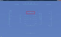
Aileron
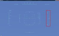
Altitude
Current altitude relating to sea-level in feet (1 feet = 30 cm).
Elevation
Current altitude above ground in feet. Related to the location of the radio altimeter therefore it's not zero if the aircraft is on the ground.
No picture (yet), it's the next scale to the left of 'altitude'.
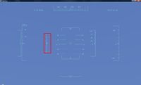
Elevator
Pitch
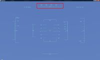
Heading
Direction of the aircraft related to the geographical North pole.
Location
To change the coordinates-system, go to Autopilot > Set Lat/Lon-format.
Rudder
Airspeed
Currend speed related to the ambient air in kts (1 kts = 1.852 km/h).
Thrust
G-load
Autopilot
If autopilot is activ the direction of the next waypoint is displayed as well as the next two and the last waypoint of the 'Route manger's list.
No picture (yet) and not displayed on the related pictures at all.
