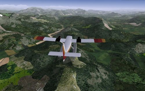
Custom France scenery
Jump to navigation
Jump to search
Custom scenery is available for continental France, using a variety of free sources.
The first release of this custom scenery covering all of continental France is available from [1] (warning: 781 MB file).
This work is released under the terms of the Creative Commons Attribution-ShareAlike 3.0 Unported license [2].
The following data sources have been used and processed to generate this scenery:
- landcover information from the CORINE program (Source : European Union, SOeS, CORINE Land Cover, 2006 - [3]),
- landmass updated according to CORINE data,
- digital elevation data from Jonathan de Ferranti for the alpine area [4],
- fitting of the elevation data with 20m accuracy ("terrafit.py -e 20"),
- Road and rail information from OpenStreetMap [5].
Please see the forums [6] for feedback and information about work in progress.
