Category:Scenery enhancement: Difference between revisions
Jump to navigation
Jump to search
(→Creating or enhancing models: Warning, about deprecated method for Howto:Illuminate faces => could give weird results with Rembrandt renderer) |
(Moved everything but the categories to http://wiki.flightgear.org/index.php?title=Scenery_enhancement&oldid=90832) |
||
| (10 intermediate revisions by 6 users not shown) | |||
| Line 1: | Line 1: | ||
{{en|Category with articles related to scenery enhancement, for example adding new models and improving textures, landclassing and airport layouts.}} | |||
[[Category:Modeling]] | [[Category:Modeling]] | ||
[[Category:Scenery]] | [[Category:Scenery]] | ||
[[Category:Development]] | [[Category:Development]] | ||
Latest revision as of 13:21, 23 December 2015
(en) Category with articles related to scenery enhancement, for example adding new models and improving textures, landclassing and airport layouts.
Subcategories
This category has the following 8 subcategories, out of 8 total.
Pages in category "Scenery enhancement"
The following 79 pages are in this category, out of 79 total.
A
- About the Scenery/Airports folder
- AC3D file format
- Howto:Add details to your airport
- Howto:Add shared models manually
- Howto:Adding Cliffs To Terrain
- AI Traffic
- Howto:Test your airport layout: quick and easy
- AirportEditor
- Howto:Animate models
- Animated jetways
- Ar/Howto:Place 3D objects with the UFO
- Howto:Animated jetways
C
E
F
G
S
M
P
T
- TaxiDraw
- Taxiway signs
- TerraGear CORINE
- TerraGear Documentation
- Terragear complete guide and FAQ
- TerraGear GUI
- TerraGear scenery build server
- TerraGear support for Draping
- TerraGear support for transition polygons
- TerraGear texmapped line data
- Using TerraGear
- Howto:Texture a building
- Textures & Texture Maps in SketchUp
- Textures of shared models sorted by file size
- Tile Index Scheme
U
Media in category "Scenery enhancement"
The following 16 files are in this category, out of 16 total.
 Alternative-runway-asphalt2.jpg 1,280 × 720; 126 KB
 Belfort Rail siding.png 1,280 × 1,024; 993 KB
 Bridge and cables.png 1,200 × 495; 715 KB
 Buildings and roads at night.png 1,200 × 567; 679 KB
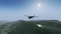
 C182s-atlantic-city.jpg 1,920 × 1,080; 190 KB
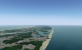 Cape Cod.png 1,200 × 727; 754 KB
 Dr400-philadelphia.jpg 1,920 × 1,080; 353 KB
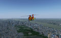 Ec135-manhattan.jpg 1,440 × 900; 320 KB
 Fgfs-20220528191253.png 2,560 × 1,440; 3.82 MB
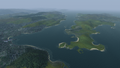
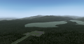
 Laurel Bed Lake.png 1,200 × 675; 807 KB
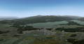 McCall, Idaho custom scenery.png 1,200 × 628; 764 KB
 McCall, Idaho, default WS 2.0 scenery.png 1,200 × 628; 699 KB
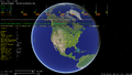 OSG Earth.png 1,920 × 1,080; 732 KB
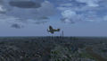
 Pa28-wilkes-barre.jpg 1,440 × 900; 266 KB
 Ramp-marshall-arpt-2.png 800 × 595; 195 KB
 Roed sand2.png 1,200 × 304; 216 KB


