File:Terrain sampling2.png
Jump to navigation
Jump to search

Size of this preview: 561 × 599 pixels. Other resolution: 674 × 720 pixels.
Original file (674 × 720 pixels, file size: 178 KB, MIME type: image/png)
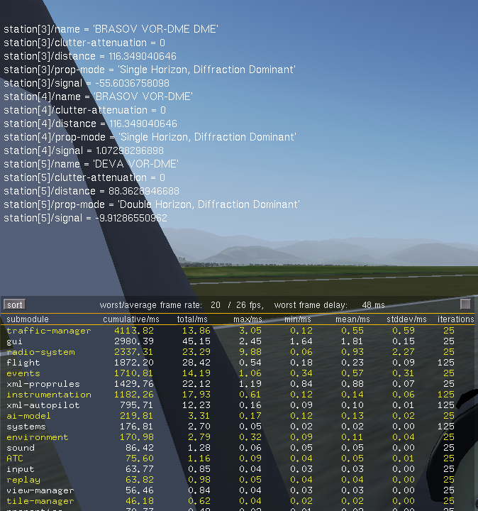
Demo of terrain sampling using an external elevation database, with three radio stations running, each located at approx. 100 km away from the station.
File history
Click on a date/time to view the file as it appeared at that time.
| Date/Time | Thumbnail | Dimensions | User | Comment | |
|---|---|---|---|---|---|
| current | 16:52, 9 December 2012 | | 674 × 720 (178 KB) | Adrian (talk | contribs) | Demo of terrain sampling using an external elevation database, with three radio stations running, each located at approx. 100 km away from the station. |
You cannot overwrite this file.
File usage
There are no pages that use this file.