File:Terrain loading4b.png
Jump to navigation
Jump to search

Size of this preview: 800 × 430 pixels. Other resolution: 1,918 × 1,030 pixels.
Original file (1,918 × 1,030 pixels, file size: 1.43 MB, MIME type: image/png)
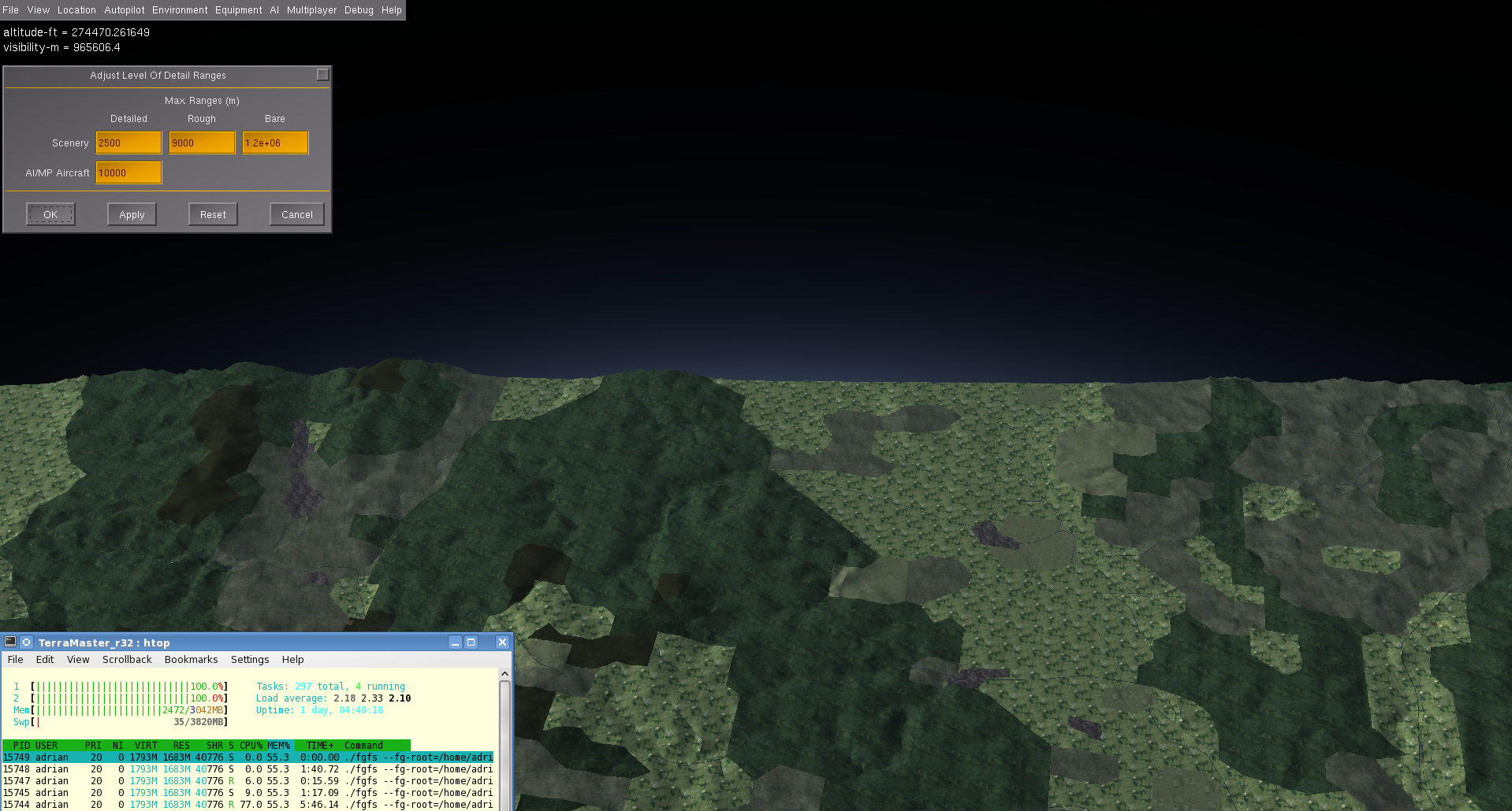
Visibility 1000 km, LOD distance bare 1000 km, altitude 100 km, a whole 10x10 degree tile of default terrain in view: Flightgear uses 1.7 GB of RAM, the same as with 100 km view distance in high detail terrain.
File history
Click on a date/time to view the file as it appeared at that time.
| Date/Time | Thumbnail | Dimensions | User | Comment | |
|---|---|---|---|---|---|
| current | 15:02, 17 December 2012 | | 1,918 × 1,030 (1.43 MB) | Adrian (talk | contribs) | Visibility 1000 km, LOD distance bare 1000 km, altitude 100 km, a whole 10x10 degree tile of default terrain in view: Flightgear uses 1.7 GB of RAM, the same as with 100 km view distance in high detail terrain. |
You cannot overwrite this file.
File usage
There are no pages that use this file.