File:Map Ngorngoro Crater.jpg
Jump to navigation
Jump to search
Size of this preview: 779 × 600 pixels. Other resolution: 1,039 × 800 pixels.
Original file (1,039 × 800 pixels, file size: 65 KB, MIME type: image/jpeg)
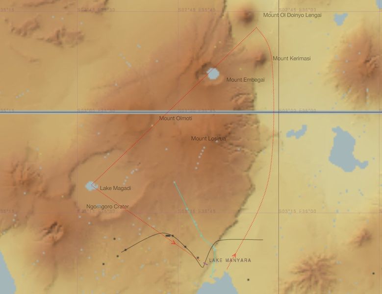
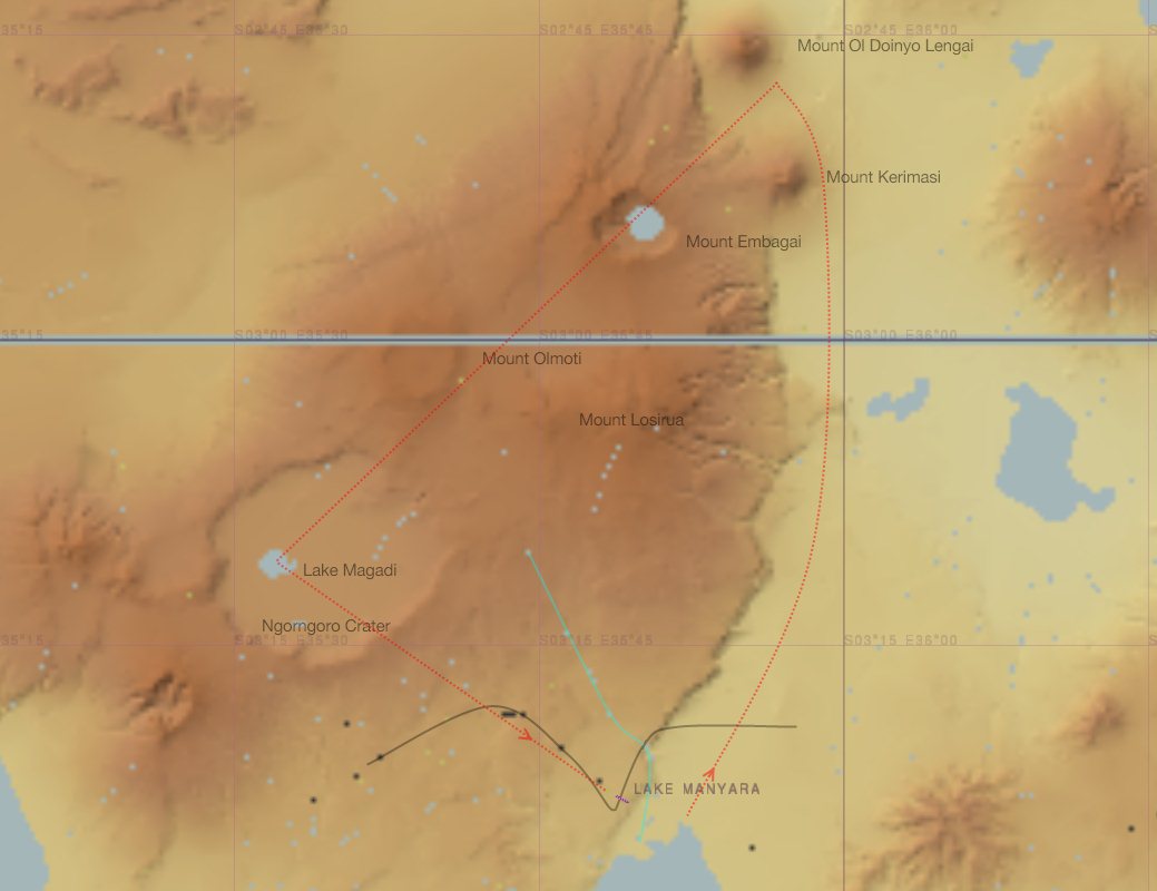
Atlas image of a flight towards the Ngorngoro Crater with some visual reference points
File history
Click on a date/time to view the file as it appeared at that time.
| Date/Time | Thumbnail | Dimensions | User | Comment | |
|---|---|---|---|---|---|
| current | 09:18, 17 October 2011 | | 1,039 × 800 (65 KB) | PH-JBO (talk | contribs) | Atlas image of a flight towards the Ngorngoro Crater with some visual reference points |
You cannot overwrite this file.
File usage
The following 3 pages use this file: