File:Map3.png
Jump to navigation
Jump to search

Size of this preview: 678 × 599 pixels. Other resolution: 904 × 799 pixels.
Original file (904 × 799 pixels, file size: 162 KB, MIME type: image/png)
Summary
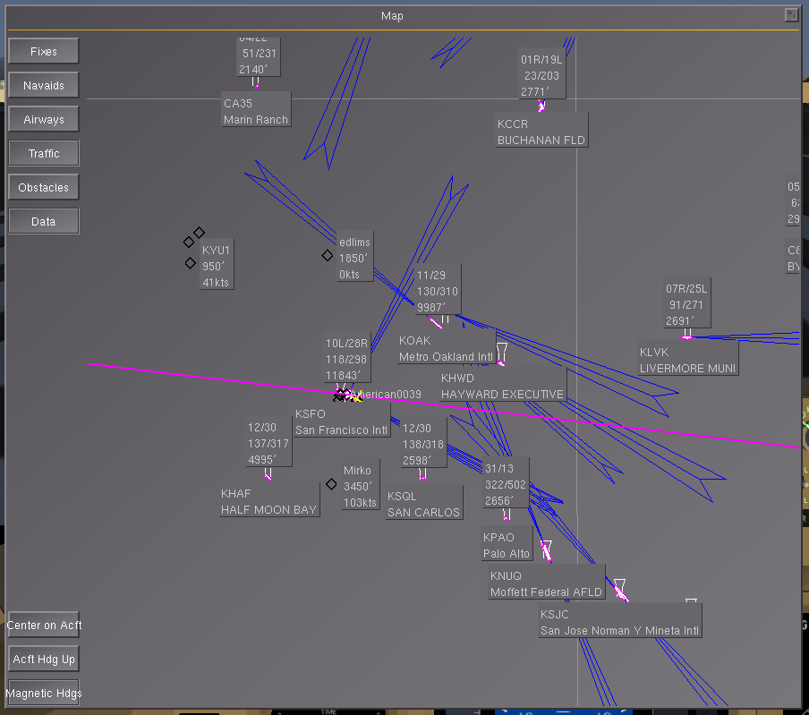
| Description | (en) Traffic and data display enabled at KSFO. |
| Date | |
| Source | |
| Author |
File history
Click on a date/time to view the file as it appeared at that time.
| Date/Time | Thumbnail | Dimensions | User | Comment | |
|---|---|---|---|---|---|
| current | 14:23, 18 March 2010 | | 904 × 799 (162 KB) | Zakalawe (talk | contribs) |
You cannot overwrite this file.
File usage
The following page uses this file: