File:FlightPlan-altitude.png
Jump to navigation
Jump to search

No higher resolution available.
FlightPlan-altitude.png (600 × 320 pixels, file size: 19 KB, MIME type: image/png)
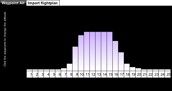
The options to edit the altitude for each waypoint.
File history
Click on a date/time to view the file as it appeared at that time.
| Date/Time | Thumbnail | Dimensions | User | Comment | |
|---|---|---|---|---|---|
| current | 19:44, 23 September 2010 | | 600 × 320 (19 KB) | Osjcag (talk | contribs) | The options to edit the altitude for each waypoint. |
You cannot overwrite this file.
File usage
The following 2 pages use this file: