No higher resolution available.
Summary
Summary
Licensing
I, the copyright holder of this work, hereby publish it under the following license:

 
|
This file is licensed under the Creative Commons Attribution-Share Alike 3.0 Unported license.
You are free:
- to share – to copy, distribute and transmit the work
- to remix – to adapt the work
Under the following conditions:
- attribution – You must attribute the work in the manner specified by the author or licensor (but not in any way that suggests that they endorse you or your use of the work).
- share alike – If you alter, transform, or build upon this work, you may distribute the resulting work only under the same or similar license to this one.
|
|
|
|
|
File history
Click on a date/time to view the file as it appeared at that time.
| Date/Time | Thumbnail | Dimensions | User | Comment |
|---|
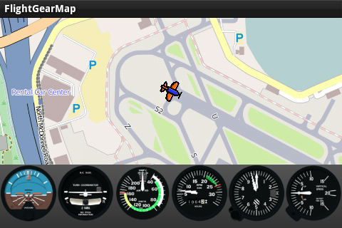
| current | 21:43, 6 May 2012 |  | 480 × 320 (129 KB) | Gijs (talk | contribs) | == Summary == {{File information |Description = FlightGearMap with OpenStreetMap map and simple panel at KSFO. |Source = {{own}} |Date = 2012-05-6 |Author = Gijs }} |
You cannot overwrite this file.
File usage
The following 4 pages use this file:
